


 Paddle SA is the governing body of paddle sport and recreation in South Australia. It leads and supports paddling in South Australia and encourages the safe exploration of our waterways.
Paddling Trail South Australia has a range of Paddling Trails to suit different abilities.
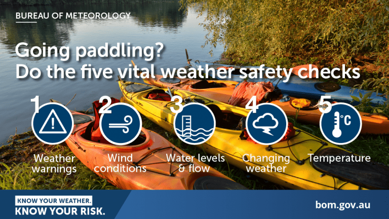
Know your ability.
Paddle SA is the governing body of paddle sport and recreation in South Australia. It leads and supports paddling in South Australia and encourages the safe exploration of our waterways.
Paddling Trail South Australia has a range of Paddling Trails to suit different abilities.
Know your ability.  If you have a smartphone or tablet you can download the free Avenza PDF Map app and have interactive paddling trail maps on hand when you need them. The app uses your device’s built-in GPS to plot your real-time location within the park onto a map. The app can be used without a network connection and without roaming charges. You can also measure area and distance, plot photos, and drop Placemark pins.
Launch Sites: ![]() Grassed area north of the Wellington Ferry GPS: 35.3312 S; 139.3838 E
Grassed area north of the Wellington Ferry GPS: 35.3312 S; 139.3838 E![]() Wellington Boat ramp (1.5 km upstream from the Wellington Ferry) GPS: 35.3303 S; 139.3836 E
Wellington Boat ramp (1.5 km upstream from the Wellington Ferry) GPS: 35.3303 S; 139.3836 E
Trail Points:![]() The trail starts at Wellington and paddlers should travel south down the river towards Lake Alexandrina. The destination, Point Pomond (Point A) is located within Lake Alexandrina.
The trail starts at Wellington and paddlers should travel south down the river towards Lake Alexandrina. The destination, Point Pomond (Point A) is located within Lake Alexandrina.
Once you emerge at the southern end of the river, head south – south-west towards the point of land within the lake, effectively following the western shore-line of the lake toward Point Pomond.
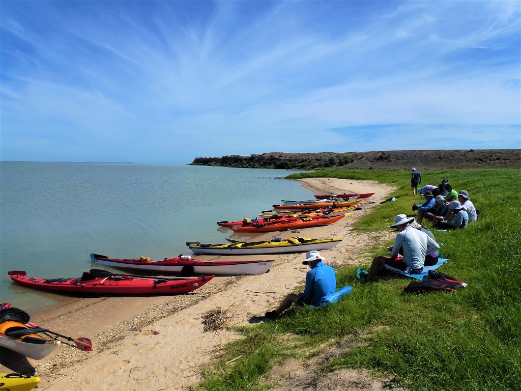
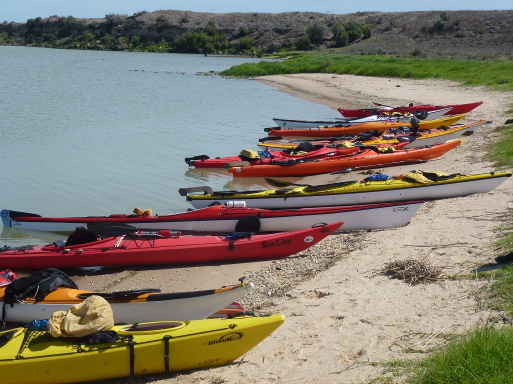
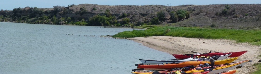
The best place to take a break is on one of the white sandy beaches visible on the approach to Pomanda Island.
Take care on the return trip as it is easy to miss the entrance to the Murray River. Follow the advice to keep to the eastern shore of the lake to ensure it is not missed.
NOTE: There is no camping at Point Pomond as it is private property.
![]()
![]()
Parking, toilets and grassed picnic area at the Wellington Ferry and at the Wellington Boat Ramp
