


 Paddle SA is the governing body of paddle sport and recreation in South Australia. It leads and supports paddling in South Australia and encourages the safe exploration of our waterways.
Paddling Trail South Australia has a range of Paddling Trails to suit different abilities.
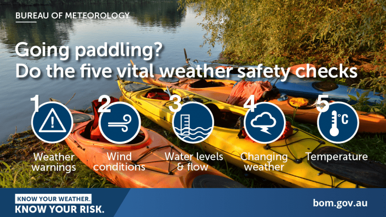
Know your ability.
Paddle SA is the governing body of paddle sport and recreation in South Australia. It leads and supports paddling in South Australia and encourages the safe exploration of our waterways.
Paddling Trail South Australia has a range of Paddling Trails to suit different abilities.
Know your ability.  If you have a smartphone or tablet you can download the free Avenza PDF Map app and have interactive paddling trail maps on hand when you need them. The app uses your device’s built-in GPS to plot your real-time location within the park onto a map. The app can be used without a network connection and without roaming charges. You can also measure area and distance, plot photos, and drop Placemark pins.
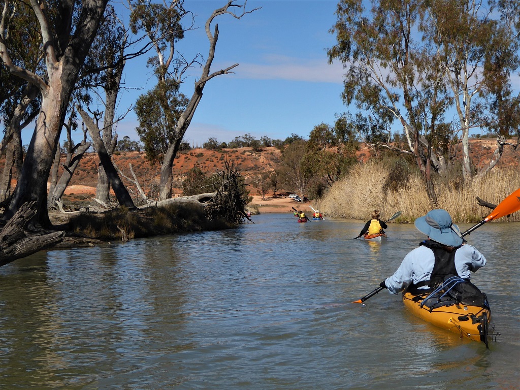
![]() Launch: 1018 Stanitzki Road, Lyrup. Turn off the road at GPS 34.2784 S; 140.7441 E (opposite entrance to Aroona Farms Simarloo Orchard) to get to the launch site
Launch: 1018 Stanitzki Road, Lyrup. Turn off the road at GPS 34.2784 S; 140.7441 E (opposite entrance to Aroona Farms Simarloo Orchard) to get to the launch site
Trail Notes:
This is a long day paddle at 24 km however unless conditions are particularly windy, this should be achievable allowing adequate time.
If instead, it becomes a 2-day paddle there is good camping along Rumpagunyah Creek.
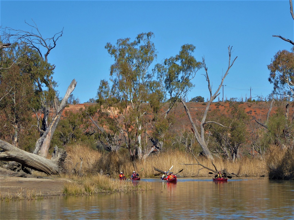
This trail starts at the pump house on the Pike River.
The directions are for clockwise travel but it can just as easily be done in the reverse direction.
Turn left from the pump house and travel in a westerly direction for 6.3 km.
Keep left until you reach the Murray River at Point L (GPS 34.2598 S; 140.6832 E). Turn hard right and travel up stream for 10.5 km to Rumpagunyah Creek at Point M (GPS 34.2399 S; 140.7356 E).
Note: there is small island in the river just after the entrance to the creek.
Rumpagunyah Creek gradually gets wider as you travel along it. About 3 km from the Murray River you will reach an island with a creek entering from the right at Point A GPS 34.2527 S 140.7616 E). Turn into this creek.
Travel down this creek for 4.2 km and you will reach your starting point at the pump house on the Pike River.
Note: there is a labyrinth of side creeks in this area, but if you keep left you will reach the pump house launch site. Even if you enter this labyrinth of creeks you will still eventually reach the Pike River and your starting point.
Trees near the Regulator provide some shade for car parking. No other facilities in the area.