


 Paddle SA is the governing body of paddle sport and recreation in South Australia. It leads and supports paddling in South Australia and encourages the safe exploration of our waterways.
Paddling Trail South Australia has a range of Paddling Trails to suit different abilities.
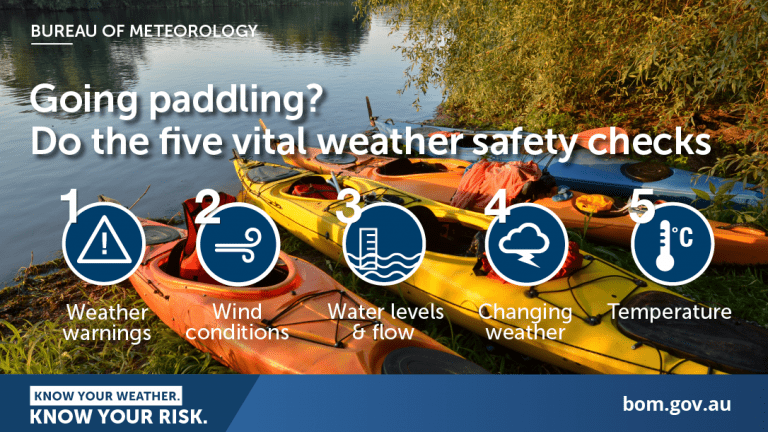
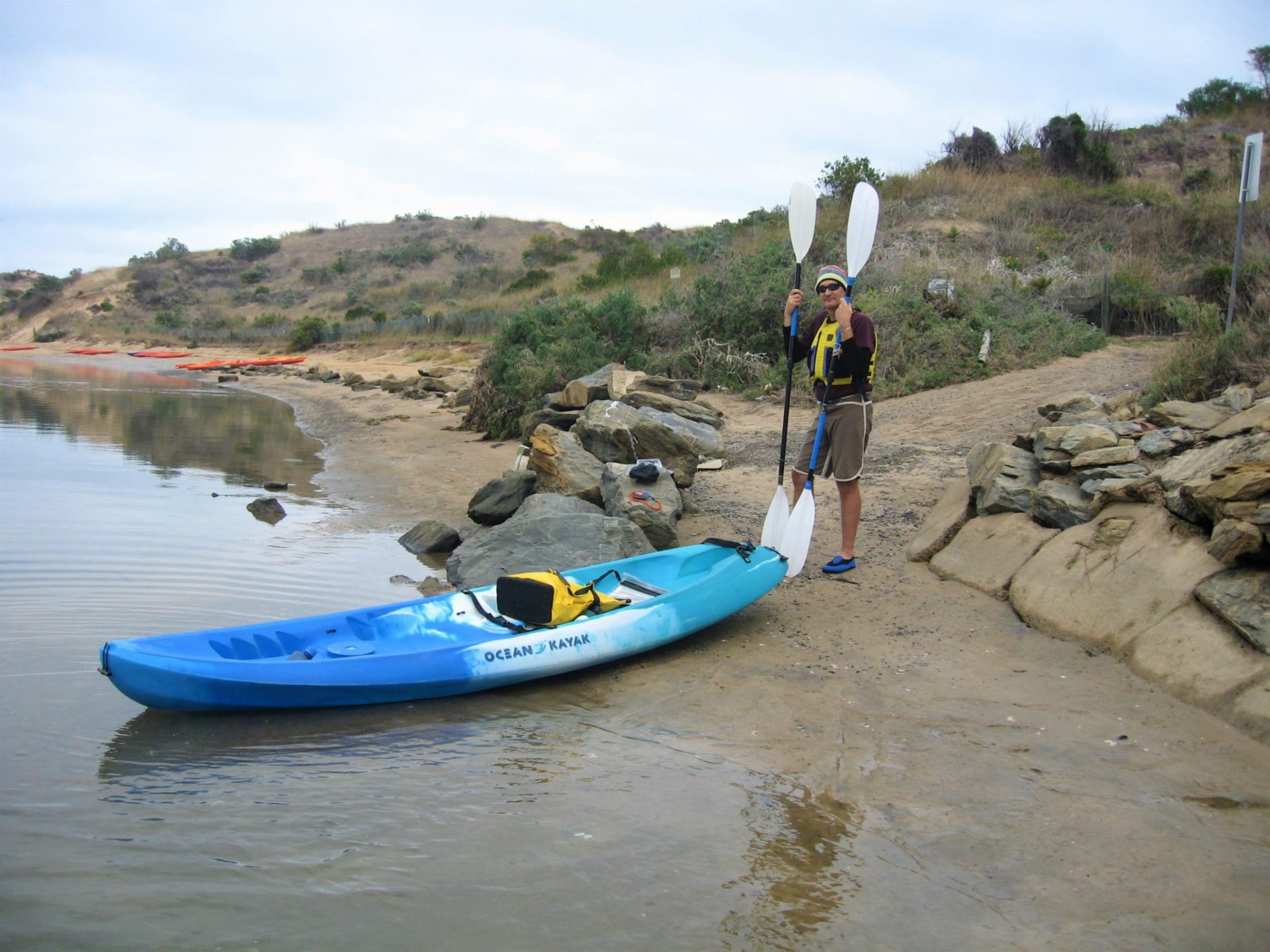
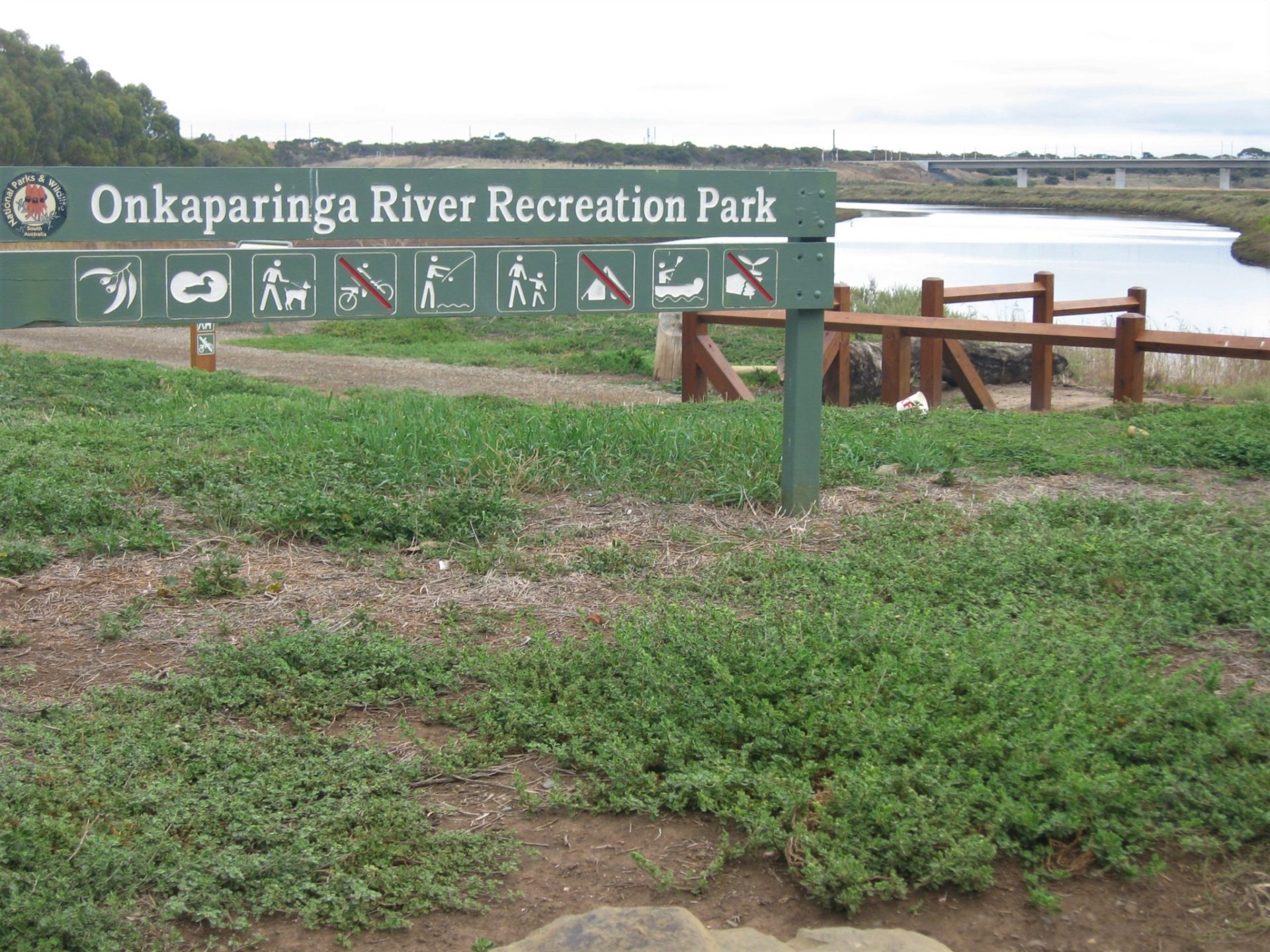
Know your ability.
Paddle SA is the governing body of paddle sport and recreation in South Australia. It leads and supports paddling in South Australia and encourages the safe exploration of our waterways.
Paddling Trail South Australia has a range of Paddling Trails to suit different abilities.
Know your ability.  If you have a smartphone or tablet you can download the free Avenza PDF Map app and have interactive paddling trail maps on hand when you need them. The app uses your device’s built-in GPS to plot your real-time location within the park onto a map. The app can be used without a network connection and without roaming charges. You can also measure area and distance, plot photos, and drop Placemark pins.
Launch Sites: ![]() Wearing Street (GPS: 35.1519 S; 138.4719 E )
Wearing Street (GPS: 35.1519 S; 138.4719 E )
From Saltfleet St turn into Clarke St and left into Wearing Street. Parking and access to the Onkaparinga River is from the car park at the end of Wearing street.
![]() Jubilee Park (public) Boat Ramp (GPS: 35.1523 S; 138.4733 E)
Jubilee Park (public) Boat Ramp (GPS: 35.1523 S; 138.4733 E)
This is on the opposite side of the river from the Wearing Street boat ramp but has more parking available
![]() Market Square Reserve (if traveling from Old Noarlunga) (GPS: 35.1807 S; 138.5016 E)
Market Square Reserve (if traveling from Old Noarlunga) (GPS: 35.1807 S; 138.5016 E)
This launch site can be muddy at low tide.
If traveling south on the M2 – South Road, enter the township by taking the Patapinda Road exit and follow the road around until you enter the township, Market Square Reserve is on the right with the Noarlunga Institute Hall on the corner.
![]() River Road Park (GPS: 35.1530 S; 138.4892 E)
River Road Park (GPS: 35.1530 S; 138.4892 E)
From Main South Rd take the turnoff Patapinda Road, turn left onto River Road, travel approx. 1.5kms turn left into Onkaparinga Recreation Park.
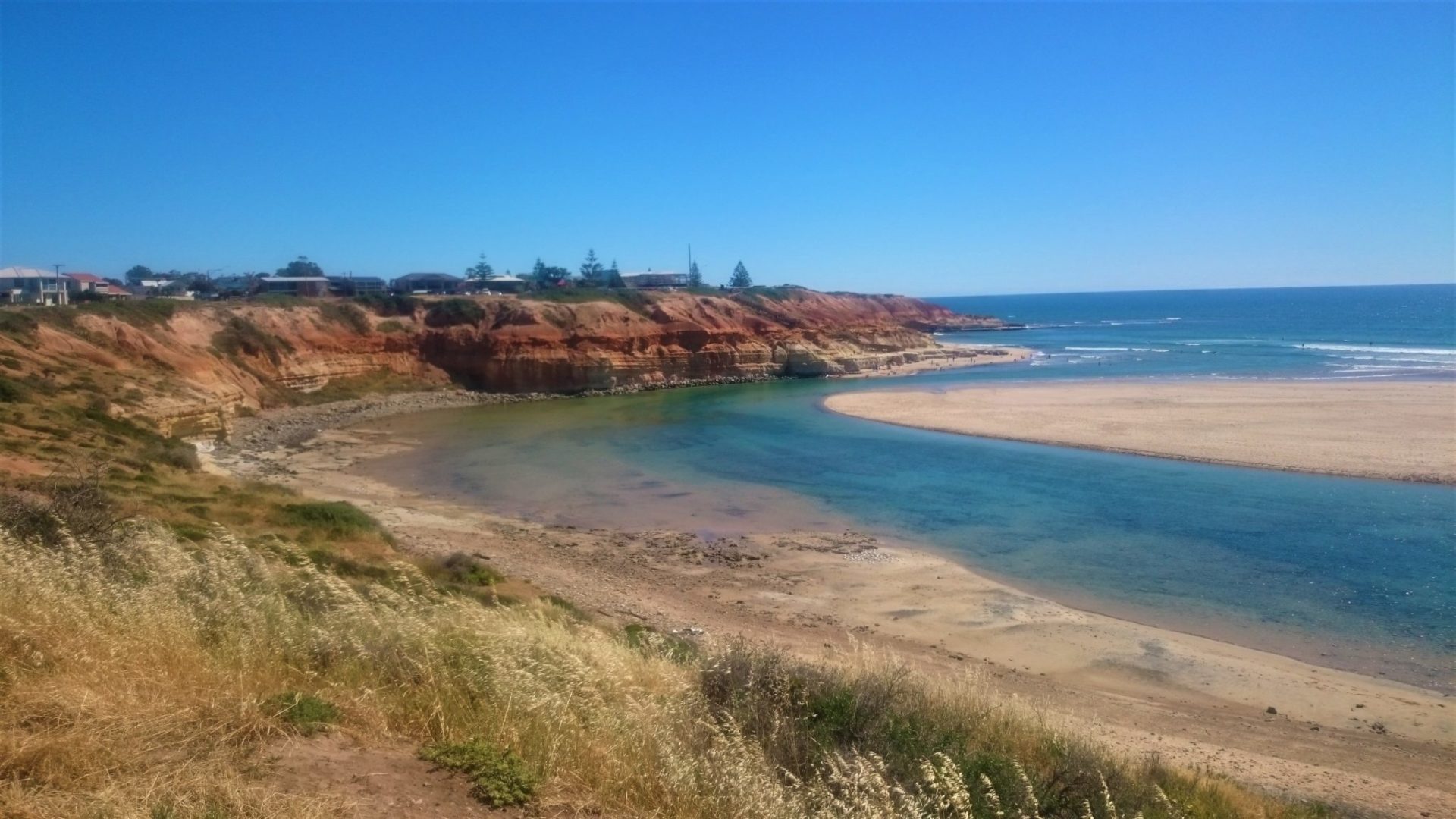
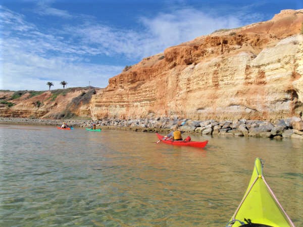
This launch point provides approx. 2kms paddle to the historic township of Old Noarlunga. The river becomes unnavigable approx. 1 km after passing under Main South Road bridge. Note: It is approx 5.6 km paddle to mouth (one-way) passing the Encounter Marine Park Sanctuary Zone (wetland) where paddlers can explore the backwaters at high tide.
Trail Points:
The Onkaparinga River is tidal so variations in flow are dependent on tides. This paddle trail can be tackled from either direction with the choice depending on the tidal flow and in this way can be tailored to suit the skill and fitness of participants.
Always check the wind and tidal information prior to departure.
For those wishing to learn moving water skills the river mouth with an outgoing tide is a good safe place to learn and practice (Note that from Wearing Street launch site to the mouth is 1.6km).
The Onkaparinga River provides an access point to Onkaparinga River National and Recreation Parks which include a network of cycle paths and walking trails.
Travelling to the mouth from Old Noarlunga
Market Square Reserve is the community hub of Old Noarlunga. First settled in 1840 the area was a fruit and vegetable growing district for the early colony. From here at high tide, the river is navigable upstream for approx 500m, downstream it is approximately 8.6 km to the mouth.
Time your visit to take advantage of the movement of the tide.
![]()
![]()
![]()
![]()
![]()
![]()
![]()
Cafes and restaurants are a short drive to Port Noarlunga.
Toilet facilities can be found at the Wearing Street launch site, also at Old Noarlunga and Jubilee Park.
Market Square has limited parking and toilets, also shady trees, a grassed area with picnic tables, and BBQ in a covered area.

