


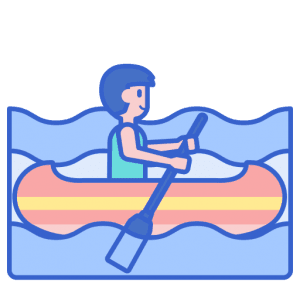
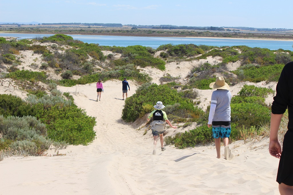
 Paddle SA is the governing body of paddle sport and recreation in South Australia. It leads and supports paddling in South Australia and encourages the safe exploration of our waterways.
Paddling Trail South Australia has a range of Paddling Trails to suit different abilities.
Know your ability.
Paddle SA is the governing body of paddle sport and recreation in South Australia. It leads and supports paddling in South Australia and encourages the safe exploration of our waterways.
Paddling Trail South Australia has a range of Paddling Trails to suit different abilities.
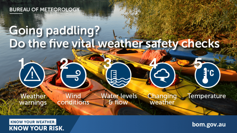
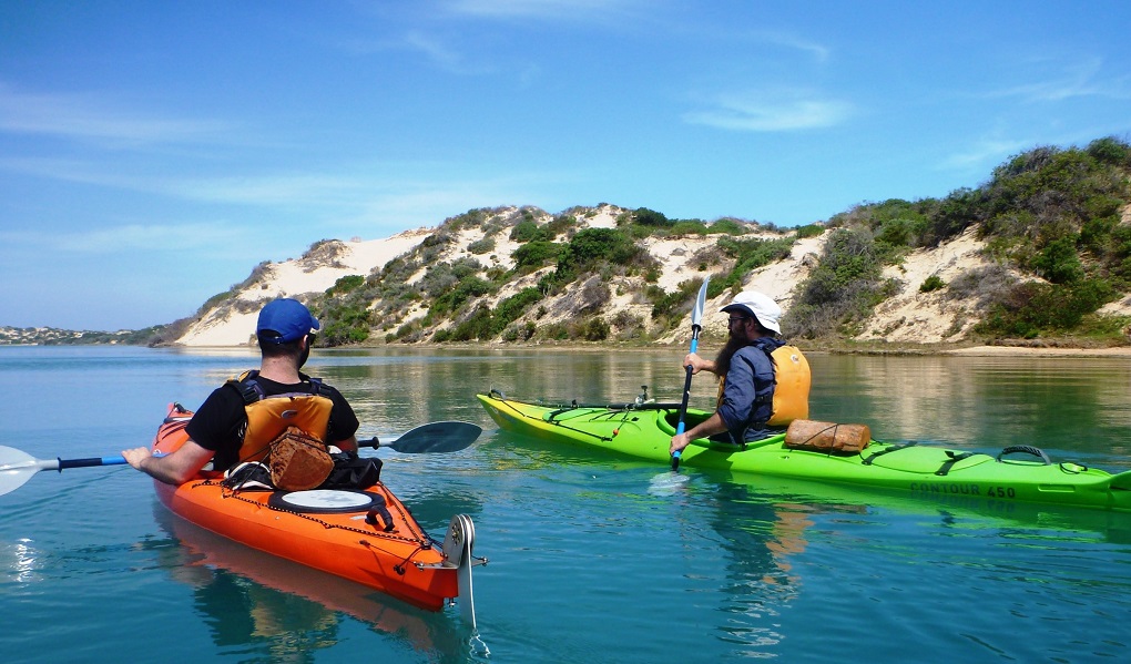
Know your ability.  https://canoethecoorong.com
Kayak hire & guided tours through the amazing natural beauty of South Australia’s Coorong National Park near Goolwa. Just one hour from Adelaide.
https://canoethecoorong.com
Kayak hire & guided tours through the amazing natural beauty of South Australia’s Coorong National Park near Goolwa. Just one hour from Adelaide.  If you have a smartphone or tablet you can download the free Avenza PDF Map app and have interactive paddling trail maps on hand when you need them. The app uses your device’s built-in GPS to plot your real-time location within the park onto a map. The app can be used without a network connection and without roaming charges. You can also measure area and distance, plot photos, and drop Placemark pins.
Launch Sites: ![]() Reserve at the end of Mundoo channel road (Not boat ramp) is recommended. GPS 35.5485 S; 138.8882 E. The nearby boat ramp can be used but if staying away overnight this boat ramp parking area is less secure for motor vehicles than parking at the reserve.
Reserve at the end of Mundoo channel road (Not boat ramp) is recommended. GPS 35.5485 S; 138.8882 E. The nearby boat ramp can be used but if staying away overnight this boat ramp parking area is less secure for motor vehicles than parking at the reserve.
![]() Exit point at launch site (or alternatively at Marks Point if undertaken as one-way trip)
Exit point at launch site (or alternatively at Marks Point if undertaken as one-way trip)
Trail Points:
The trail starts at Mundoo channel road. It is recommended that you park at the end of the road not at the boat ramp.
The route can be extended by visiting the Murray mouth. There are many shallow areas in this part of the Coorong, so it is important to stay in the marked channel.
Do not enter the mouth of the Murray as the tidal waters can be quite strong. Land about 200/300 m from the mouth at the Barkers Knoll Boardwalk. There are no toilet facilities here.
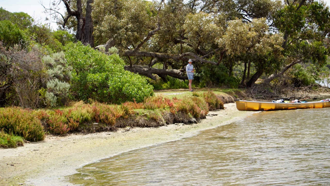
![]() There is a camping site at Godfreys landing with toilet facilities (Point A 35.5713 S; 138.9241 E). Always remember to bring your own water as the Coorong water is salty and there are no natural sources of fresh water here.
There is a camping site at Godfreys landing with toilet facilities (Point A 35.5713 S; 138.9241 E). Always remember to bring your own water as the Coorong water is salty and there are no natural sources of fresh water here.
Camping is permitted at Lousy Jacks. Purchase a Non-vehicle based (hike, bike or canoe) camping permit prior to departure from the National Parks website.
![]() Lousy Jacks is recognizable by the Tuart gums growing there (Point B 35.6215S; 139.0374E). Note: This is one of the few places outside Western Australia where Tuart gums grow.
Lousy Jacks is recognizable by the Tuart gums growing there (Point B 35.6215S; 139.0374E). Note: This is one of the few places outside Western Australia where Tuart gums grow.
![]() Alternatively there is a campsite at Marks Point (no facilities) about 4 km from Lousy Jacks on the Eastern side of the Coorong (Point C: 35.6308 S; 139.0800 E)
Alternatively there is a campsite at Marks Point (no facilities) about 4 km from Lousy Jacks on the Eastern side of the Coorong (Point C: 35.6308 S; 139.0800 E)
![]()
![]()
![]()
![]()
Nil – remember to take adequate fresh water if you are planning to camp overnight.
Note: Fires are not permitted in the Coorong National Park
Note: Camping permits must be obtained from Coorong National Park prior to departure and can only be obtained online.
Tuart gums
Eucalyptus gomphocephala, known as tuart, is a species of tree, one of the six forest giants of Southwest Australia. Tuart forest was common on the Swan coastal plain. The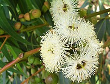 wood is dense, hard, water-resistant and resists splintering, and found many uses when it was available. Remnants of tuart forest occur in state reserves and parks, the tree has occasionally been introduced to other regions of Australia and overseas. White flowers appear in mid-summer to mid autumn between January to April. Buds that are almost stalkless appear as clusters in groups of seven and have been described as having a small ice cream cone shape. The flowers are formed in tight clusters made up of around seven flowers.
Indigenous Ngarrindjeri Culture
For many thousands of years, the lower Murray River, Lower Lakes, and Coorong region was one of the most densely populated areas of Australia. These waterways were home to thousands of Ngarrindjeri Aboriginal people.
The Ngarrindjeri have a timeless connection with the lower Murray River, Lakes, and Coorong. They lived in communities in this environment, referred to as their supermarket. Everything Ngarrindjeri needed was here – clean waters, foods, medicines, shelter, and warmth.
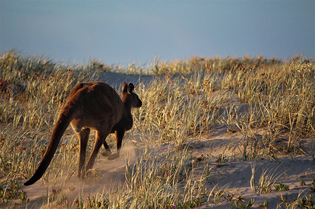
The river supported healthy populations of waterfowl, mussels, cockles, salt, and fresh water fish, turtles, kangaroos, possums, native fruits, and vegetables. What Ngarrindjeri people didn’t have they traded with groups further upstream and inland. They were renowned for being ‘big, strong and healthy due to their varied diet and knowledge of the land.
