


 Paddle SA is the governing body of paddle sport and recreation in South Australia. It leads and supports paddling in South Australia and encourages the safe exploration of our waterways.
Paddling Trail South Australia has a range of Paddling Trails to suit different abilities.
Know your ability.
Paddle SA is the governing body of paddle sport and recreation in South Australia. It leads and supports paddling in South Australia and encourages the safe exploration of our waterways.
Paddling Trail South Australia has a range of Paddling Trails to suit different abilities.
Know your ability.  If you have a smartphone or tablet you can download the free Avenza PDF Map app and have interactive paddling trail maps on hand when you need them. The app uses your device’s built-in GPS to plot your real-time location within the park onto a map. The app can be used without a network connection and without roaming charges. You can also measure area and distance, plot photos, and drop Placemark pins.
Launch Site:![]()
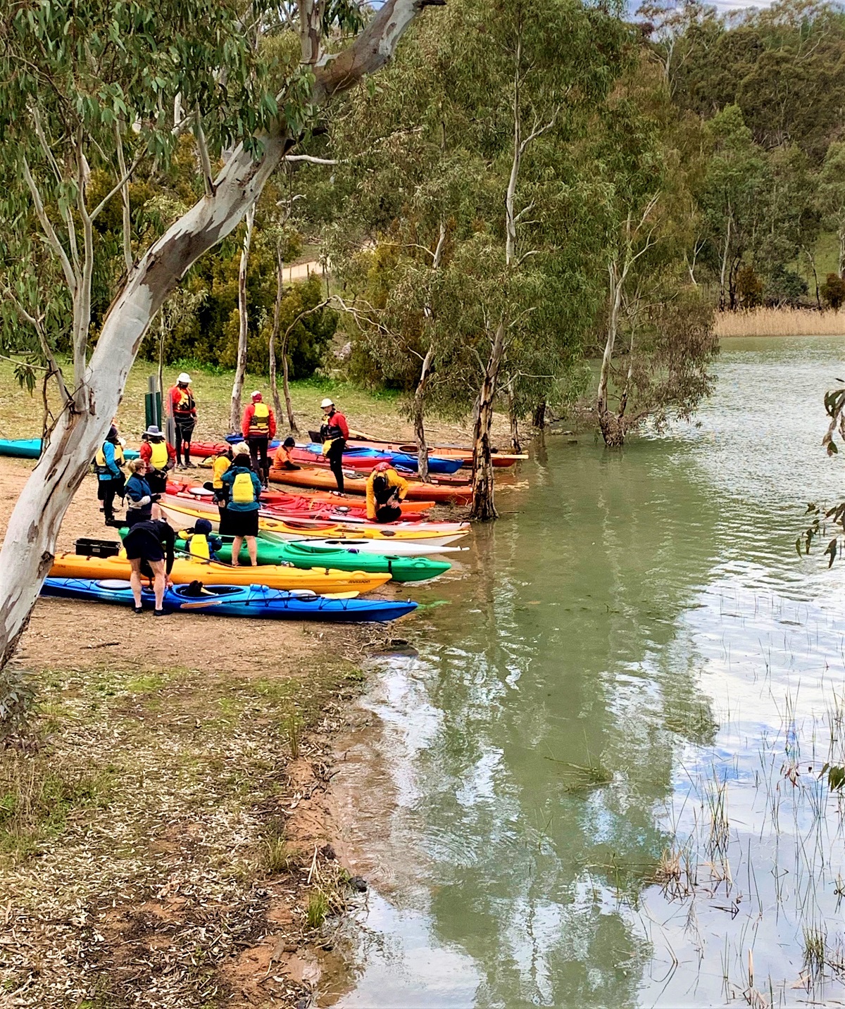
Launch site Eastern Launch: GPS 34.705 S 138.9351 E (Launch Point 2)
Northern Launch (with toilets): GPS S 34.6987 S 138.9204 E (Launch Point 1)
Access point:
Coming from Williamstown on Warren Road the first designated launch site (Launch Point 1) has car parking and toilets.
However, the second launch site (travel further south east down Warren Road) has a larger parking area and is a better starting point – both the long and short loop paddles start from here.
At the northern point, there is a car park and toilets at Launch Point 1 (GPS 34.6987 S; 138.9204 E). This is a good spot for a rest.
This stretch is often paddling into a northerly wind so once you reach Launch Point 1 you have completed the hardest part of paddling.
Heading back down the reservoir to the south and following the Western shoreline you will arrive at the ‘no access’ area marked by a line of buoys. Follow the buoys across to the point and continue paddling south.
There are plenty of spots to pull in and have a picnic, for example at Point A (GPS 34.7090 S; 138.9268 E).
Continue to follow the shoreline south and either head back under the road bridge towards your starting point or continue south to explore the inlet and bays.
Following the shoreline will bring you around the very bottom of the reservoir and you will now paddle north back under the bridge and around the corner to your start point.
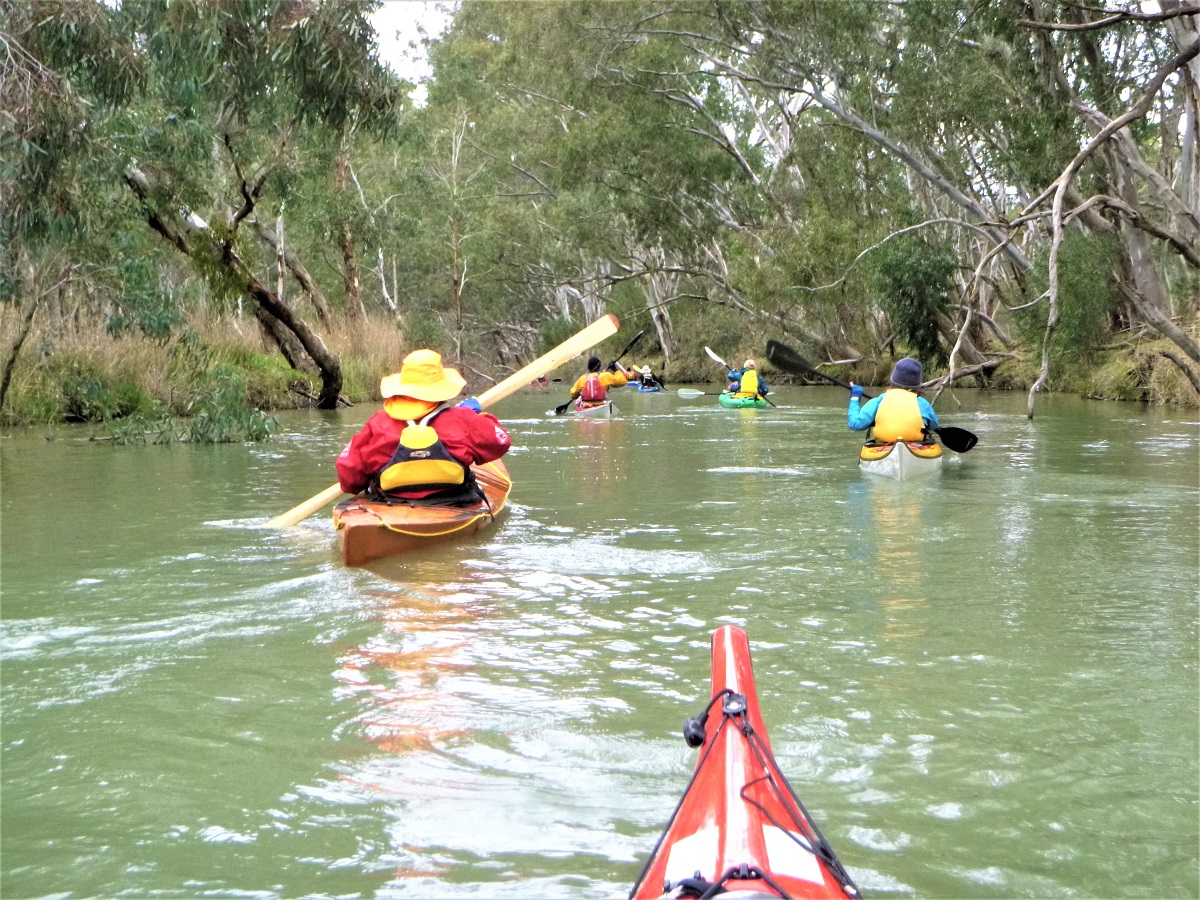
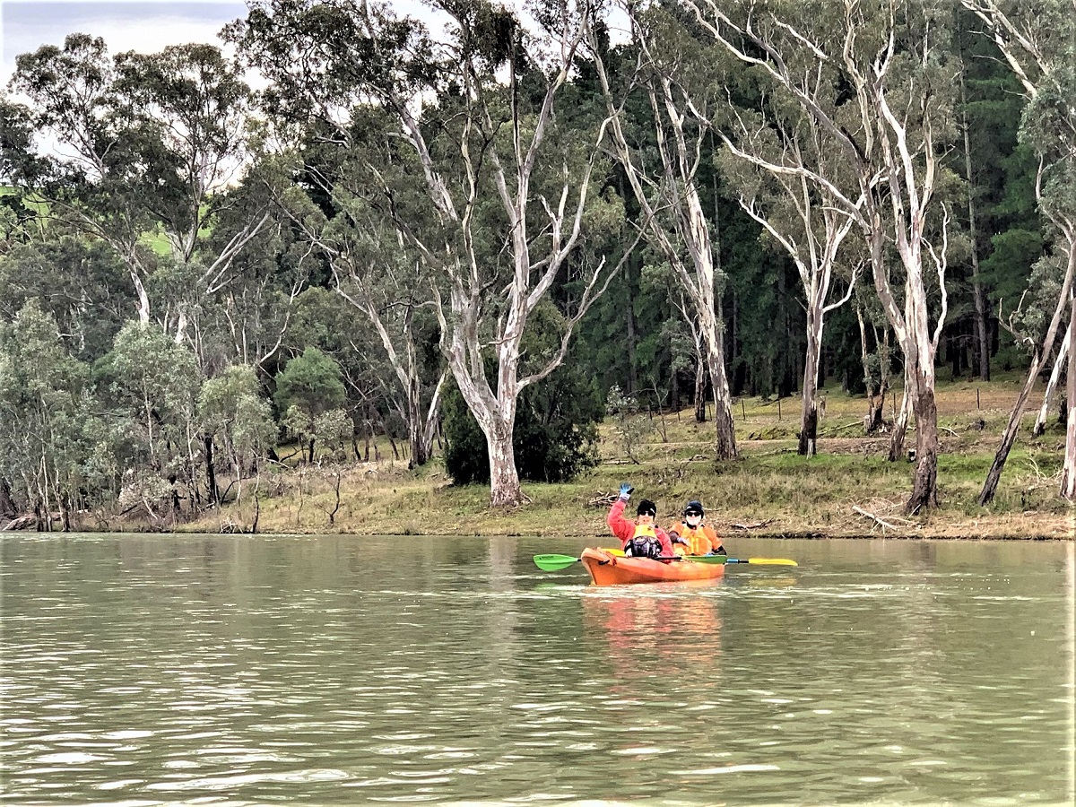
Follow the shoreline around either clockwise or anti-clockwise and you will arrive at the entrance to the South Para River Point B (GPS 34.7013 S; 138.9370 E) This is a great little section of meandering river with tree-lined banks to glide past, and lots of fallen trees to create obstacles to navigate past.
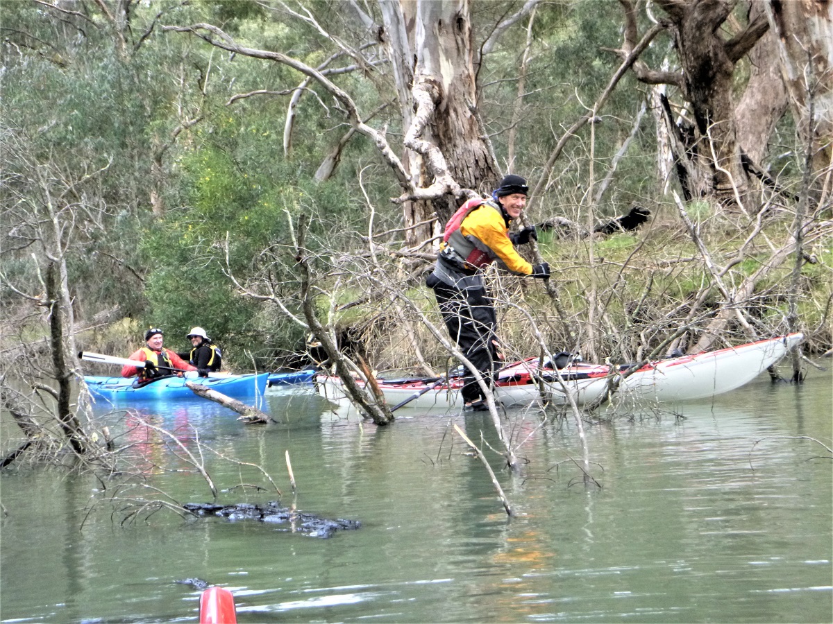
Depending on your appetite for exploration several submerged tree trunks can be paddled/slid over before the route eventually becomes impassable. Paddle back the way you came and back under the old bridge to your starting point.
Toilets are located at the Northern car park off Warren Road.
The shoreline of Warren Reservoir is generally shallow and sandy and there are plenty of great spots for a picnic.
Accommodation at Williamstown Caravan Park is only a 5-minute drive from both Warren and South Para Reservoirs

